Photos
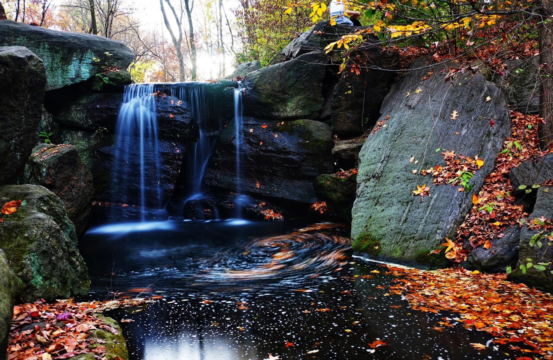
There are no photos for this place yet!
Reviews — 8

Easily my favorite trail in the area. If you take the Westridge route from the Nike missile site and stay on the narrower ridge top trails away from the fire road, it's a harder but moderate hike. Also, you run into less mountain bikers if you're hiking. The various ridge tops along the route give you fantastic views of LA and San Fernando Valleys and to the beach and ocean. Bring lots of water on hot days as there is minimal shade.

Hiked this trail a couple times and love it. The full loop takes 2.5-3 hrs at a steady pace. Dog friendly, and lots of mountain bikers. It's beautiful right now (May) because of spring blooms (all photos are the more windy part of the second half of the trail). But still beautiful outside the spring months. The back half is more challenging, but also most scenic, and great views.

Great hike. Valley, LA, and ocean views from one location. Pretty amazing. Nike Missile Site is where we were. If you drive up Havenhurst from Ventura and go until it ends you will see a dirt road to start the hike. Very easy hike.

Short and steep. Attractive view of the 405 to your left as you come in. Tennis court and planned community at the r end of the trail. Not as scenic but that’s relative as most hikes here are incredibly beautiful.

Great climb for all levels. Dogs can be off-leash here.
For the record, the entrance is NOT where Google maps says it is!! It's on the north end, via Mulholland. If you are on the south end, you'll end up at the gates of a private commercial property where a security guard will come out and tell you, like he's told thousands of people before, that this is not the entrance to the trail. Poor guy.
For the record, the entrance is NOT where Google maps says it is!! It's on the north end, via Mulholland. If you are on the south end, you'll end up at the gates of a private commercial property where a security guard will come out and tell you, like he's told thousands of people before, that this is not the entrance to the trail. Poor guy.

Great hiking area, can take an easier or harder path along the way so very enjoyable to be able to switch things up! Love this spot and an amazing view

Road was closed due to heavy rain. However the road was walkable so I did. Ran into the park ranger and had good conversation about history of Mulholland Dr and the canyon area. Saw a couple of old wrecked cars from 40's or 50's down one of the canyons. Found a geo cache hidden in the brush. Cool place to hike and walk.