Photos
There are no photos for this place yet!
Reviews — 8


The trail head is easy to find, but it would be wise to have the trail head loaded into your mapping software before you drive into the Thompson Park area, because cell service is minimal and spotty at best. There are portions on the trail that you can pick up a signal (Verizon), but make sure you let someone know where you were going if you are coming here. I have also been recommended that I bring bear spray. However, I have not seen any in the two times I have run and biked the trail.
You can make a nice loop with a mountain bike with the continental divide trail that will take you back to Highway 2 and then a short ride downhill on Highway 2 to the trail head. The Colorado Divide Trail will take you back to Highway 2 at Pipestone Pass. There is occasional stream water along the way, but bring a filter.
The hike/ride is pretty gentle and mostly rideable up, should be completely rideable down. There are a few technical rock sections, but the trail is pretty easy. There are some steep sections a person may have to hike a bike, but these are few. Overall, I would classify this mountain bike trail as a blue/intermediate difficulty.
At one point about halfway through, there is a good view of the mountains to the southwest. I really like this trail, because I see very few people here, and it is a nice way to find some solitude very close to Butte.
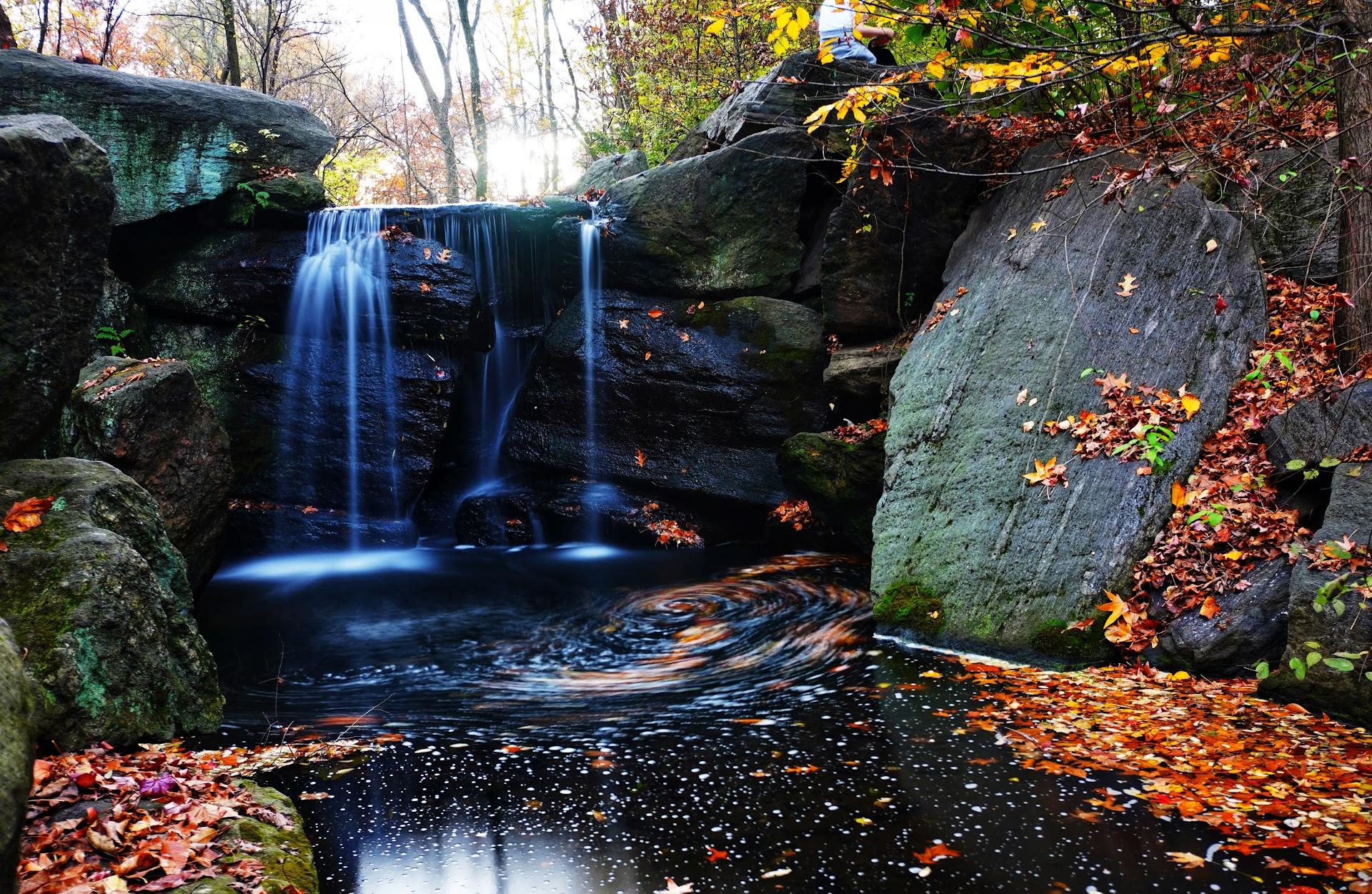
Near the top of the trail, where it connects to the continental divide trail, there is a beautiful meadow and wooden bridge. crossing a small stream. I would imagine you could find some wildlife here. (See attached photo).
The trail is mostly uphill, around 900 feet of elevation gain in total, but there are a few hundred feet of descent to the meadow before you do the final climb up to the divide trail.
An out and back makes a nice trail run. Highly recommended!
You can make a nice loop with a mountain bike with the continental divide trail that will take you back to Highway 2 and then a short ride downhill on Highway 2 to the trail head. The Colorado Divide Trail will take you back to Highway 2 at Pipestone Pass. There is occasional stream water along the way, but bring a filter.
The hike/ride is pretty gentle and mostly rideable up, should be completely rideable down. There are a few technical rock sections, but the trail is pretty easy. There are some steep sections a person may have to hike a bike, but these are few. Overall, I would classify this mountain bike trail as a blue/intermediate difficulty.
At one point about halfway through, there is a good view of the mountains to the southwest. I really like this trail, because I see very few people here, and it is a nice way to find some solitude very close to Butte.
Near the top of the trail, where it connects to the continental divide trail, there is a beautiful meadow and wooden bridge. crossing a small stream. I would imagine you could find some wildlife here. (See attached photo).
The trail is mostly uphill, around 900 feet of elevation gain in total, but there are a few hundred feet of descent to the meadow before you do the final climb up to the divide trail.
An out and back makes a nice trail run. Highly recommended!

Beautiful mountains and forest! Great, rugged hike with a well defined trail. It is dog friendly.


This trailhead is on MT2 which is a short scenic drive from I90 in Whitehall back to I90 in Butte. Easy enough to stop while traveling if you want a quick hike near the CDT. It's 4 miles from the trailhead to the CDT.


Very beautiful hike area.
It was a little cluttered with fallen trees, the trail was clear and well used,and the vistas were clear and very stunning. Really a great day hike.


Great trail!

It's very beautiful, but if you're not ok with cold weather make sure you visit in the spring and summer months