Best Hiking areas in Canada
Top Rated Hiking areas
Top Reviewed Hiking areas


Crippen Regional Park Parking
First Lake Trail Junction
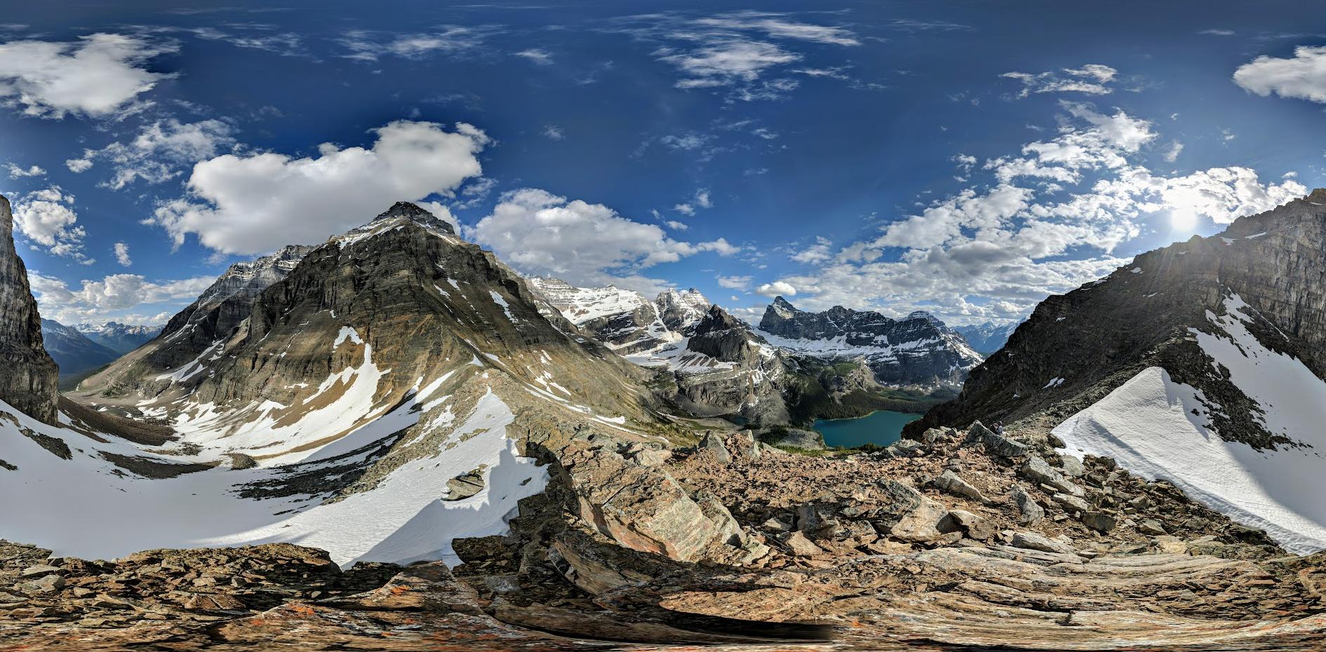
Dinkey Peak Trail
Elsay Lake Trail
Mosquito Creek Trail
Chinook Trail
Mosquito Creek
Mount Fromme Trailhead
Pipeline Trail
Whyte Lake Trail
Sylvie Park
Descente repos
Reviews
Nice


Quiet place with numerous parking spots, an on-site dam, and fish breeding center. There are benches along the trail for seating, making it an ideal spot for hiking and running. Dogs are welcome but should be kept on a leash.


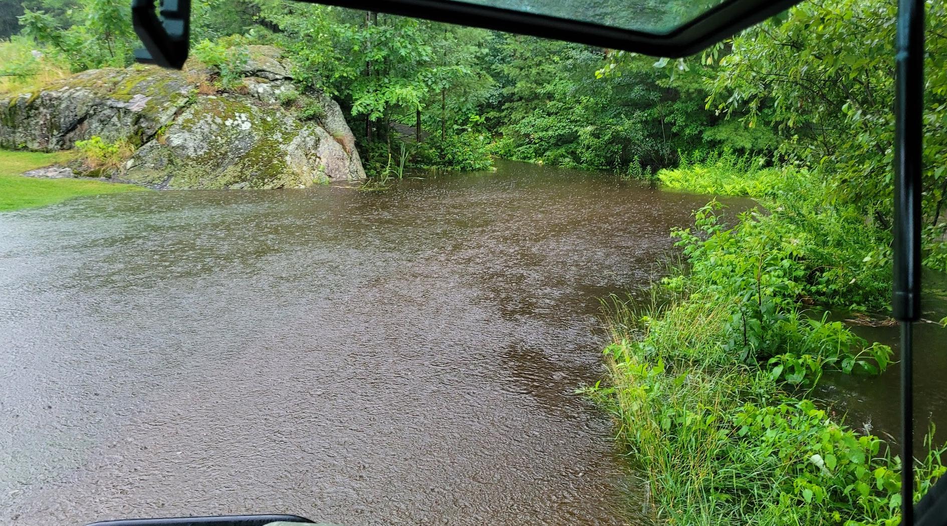
Trail is muddy/watery at several places, has roots and rocks, which makes it all the more interesting. A lot of it runs along a creek, which is also nice.


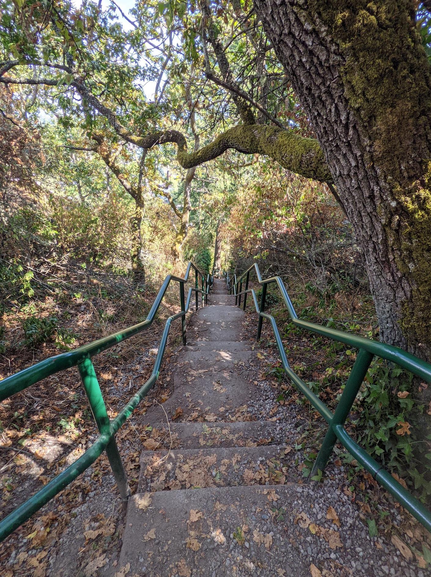
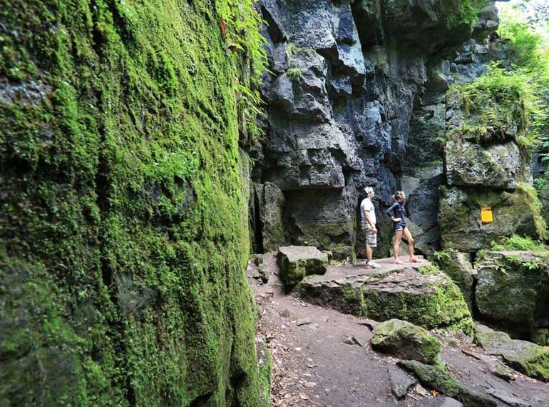
A 3-star trail with 4-star natural beauty. Small dose of rainforest hiking on a light incline. Lots of tree roots, cascades, boardwalks, and puddles. Green therapy to the fullest.


Pipeline and Chinook Trail Loop
It is about a 4.0 to 7 km loop trail in North and West Vancouver, British Columbia. It is a moderately challenging route that can take between 1 hr 15 minutes to 2 hours. It is a great trail for hiking and running, and I enjoy solitude during quieter times. The trail is open year-round. Dogs are welcome; they must be on a leash for the most of it. Parking is available by the Cleveland dam or as well by the Capilano River Hatchery.
It is about a 4.0 to 7 km loop trail in North and West Vancouver, British Columbia. It is a moderately challenging route that can take between 1 hr 15 minutes to 2 hours. It is a great trail for hiking and running, and I enjoy solitude during quieter times. The trail is open year-round. Dogs are welcome; they must be on a leash for the most of it. Parking is available by the Cleveland dam or as well by the Capilano River Hatchery.

Go for a hike


너무 멋지내요.
가을이 가고 있내요.
겨울이 오고 있구요.
마음이 싱숭생숭하내요.
가는 가을 아쉽고..
오는 겨울 두렵기도 설레기도 하니까요
가을이 가고 있내요.
겨울이 오고 있구요.
마음이 싱숭생숭하내요.
가는 가을 아쉽고..
오는 겨울 두렵기도 설레기도 하니까요


There are upper and lower Mosquito trails and this is the lower. Short flat walking path along the river. Between the play ground and community Center.


Dog friendly trail, navigate “ whyte lake trail” is a easy way to find the parking lot.

Très bel endroit calme et reposant


Fantastic hike and great views. Be sure to go to the second rock bluff for the best views.

The parking lot on Mountain Hwy. is MUCH too small! There are often lineups of cars waiting for someone to leave. Often, frequent visitors don't even bother trying; they park on side streets or the elementary school, further down.
The trails are great, though! My only complaint is that after riding the lower west side, you either have to ride the dreaded Baden Powell section that reconnects to Mtn. Hwy., or ride a few sidestreets (or shuttle).
There are washrooms (pit toilets; no sinks) and a bike wash station (in season).
The trails are great, though! My only complaint is that after riding the lower west side, you either have to ride the dreaded Baden Powell section that reconnects to Mtn. Hwy., or ride a few sidestreets (or shuttle).
There are washrooms (pit toilets; no sinks) and a bike wash station (in season).


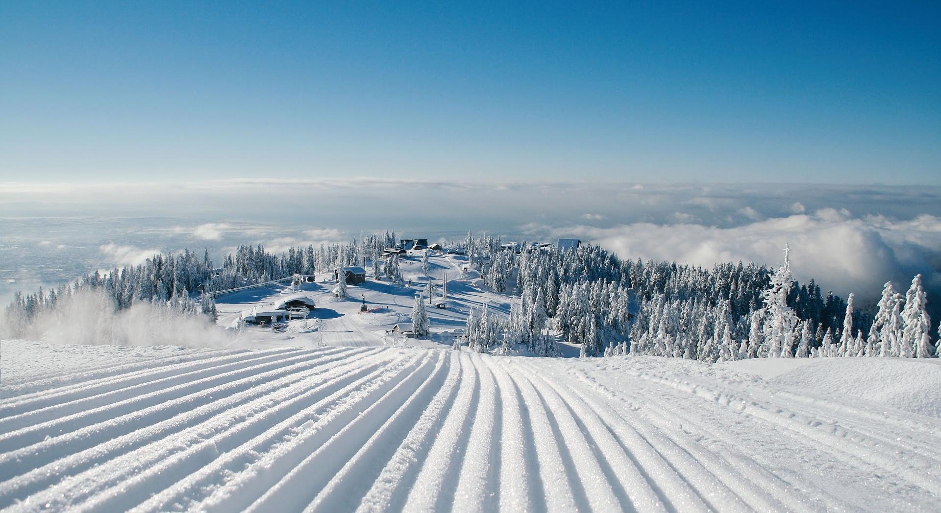
Great for both hiking and biking. Still some snow but totally manageable. If you want to check out Senate peak as I did, it can be quite challenging due to the low volume of hikers going that way. The whole route is pretty much covered by snow and you need to rely on GPS to stay on the right track. If you managed to overcome all the obstacles, enjoy the view which is much better than Fromme peak.

Nice trail very close to the city. Various trails starting at the Cleveland Dam along the river on both sides with different options for shorter or longer loops.
The fish hatchery is a 15-20min hike from the dam as a reference. Some parts of the trails are quite steep uphill and downhill and require some stamina but nothing extreme.
Beautiful views of the river, bridges crossing it, and some massive Fir Trees along the way make this a nice excursion
The fish hatchery is a 15-20min hike from the dam as a reference. Some parts of the trails are quite steep uphill and downhill and require some stamina but nothing extreme.
Beautiful views of the river, bridges crossing it, and some massive Fir Trees along the way make this a nice excursion


Good morning hike. Trail covered in thick snow for the last kilometre or so. Would strongly recommend snowshoes if you don’t want your feet soaked.

Great parking, trail head is frequently maintained, I’ve done a couple nsmba fivers here. All in all great mountain 🙃

It is a very challenging trail in my opinion. Some of the parts are very steep and could be slippery. You need to be careful and make sure you have appropriate footwear. Other than that, enjoy the nature sounds such as river streams!


What a wonderful area to walk around. And a great alternative to the Capilano Suspension Bridge. There are many trails in the area to discover.

Beautiful park in the middle of St Dorothy Laval. You will feel nature any time you walk it!

Very nice little day hike with some great views.

Short and easy trail, like 20 min walk from Mosquito creek to Delbrook community center. Dogs could be unleashed in some parts. Not enough parking, have to park roadside if you start from south to north.

I have to say this hike was boring as hell.
Pros: Nice walk through nature, very few people along the way, parking is close and free. Minimal bugs and no mud or snow along the way but see the cons...
Cons: 2 hour slog up in high altitude but its not interesting, no water along the way, not really challenging terrain, peak has minimal view and maximum mosquitoes even if you have bug spray on.
While you're in the forest, it feels endless and was not bloody worth it in my opinion. Not the most exciting hike I've been on, but I suppose not the worst either.


Awesome little trail with cute side trails.


I love this trail!!! I love it more than the capilano bridge. It's free and it's like a trail out of the fairy tails. If a fairy flies out, I would not be surprised.


This is a great hike! It's not flat, so come in clothes that you can move in and shoes that you don't mind getting a little muddy.
The scenery is stunning! And it is very rewarding to make it to the lake and take a quick swim to cool off.
The parking lot is tricky to find, so just be aware when you get close to the trail head.
The scenery is stunning! And it is very rewarding to make it to the lake and take a quick swim to cool off.
The parking lot is tricky to find, so just be aware when you get close to the trail head.


very comfortable trail to Cleveland Dam

Good hiking area


Amazing hike, snowy at end, but def worth the effort.


If you are looking to flex your muscles that every inch of your body will remind you for the rest of the week after, then take this "small" yet one of the tiring hikes. It's a 6 kms round trip with an elevation gain of 238 meters. Will take around 2 to 2.5 hours depending on how you wish to cover your path. But all the effort is worth when get to see that beautiful lake at the end. Yet another nature's abode in this beautiful city.


Great short hike. About 45 mins each way from the parking lot. Well marked and reasonably well maintained. A sign says the lake itself is not suitable for swimming.


Great trail. About 30 minutes hike from trailhead to the lake for average adult. Not accessibility nor stroller friendly due to elevation changes. Quiet in early morning, an easy work out.

Cliff jumping was amazing


Where the sound of traffic disappears.
I have seen reviews for this place saying the trail is “easy”, and in some cases “moderate”. But when you start the hike the sign actually says “intermediate”. It all depends on the hiker. Whichever level you decide it is, it is worth it. Bring snacks and don’t forget water. No cell reception. Dogs are very welcome.
When the sound of the traffic disappears behind you and is replaced by birds singing and water babbling your ears will thank you. Fresh air and greenery all around. It is not necessarily the destination but the hike there that makes this place so wonderful.

Besoin de nettoyage

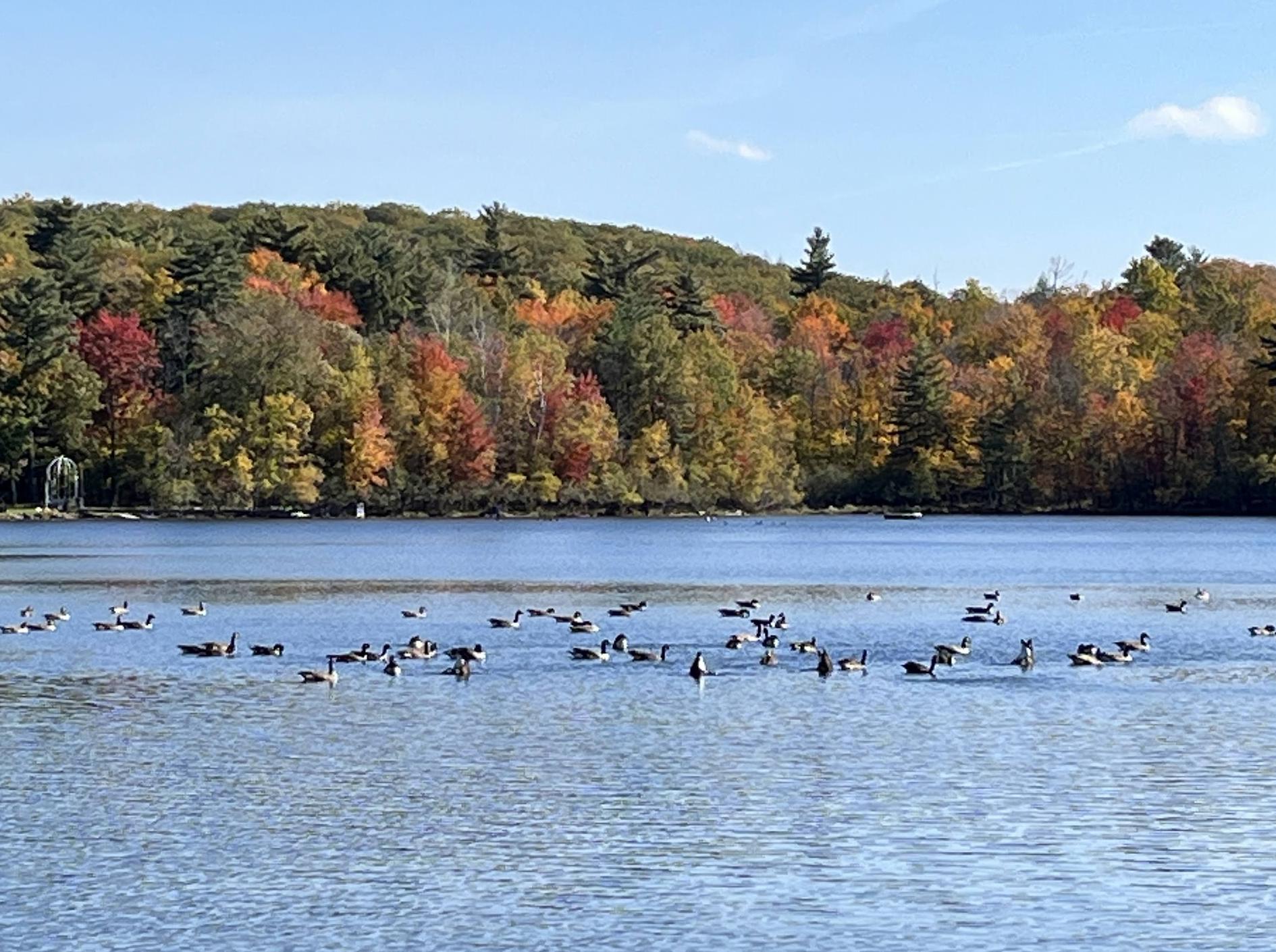
Superbe petit parc nature entre Maisonneuve et Samson! Quelques fois présence de canards


Awesome park for a nice cold winter walk.


Very steep in some parts. Make sure you wear appropriate footwear and stay on the trail. Do not leave any garbage.


Good steady climb with a beautiful trail. The summit is amazing too.
Great trail that runs beside the upper park of Capilano river. Easy place to start is the fish hatchery. Lots of loop options to avoid just going up and down the trail.


Pipeline trail follows the Capilano River . Starts off easy along gravel track. Parts of the trail can be slippery after a rain. Approximately a 30 minute walk from the Capilano Road to the fish hatchery which is worth a look at.